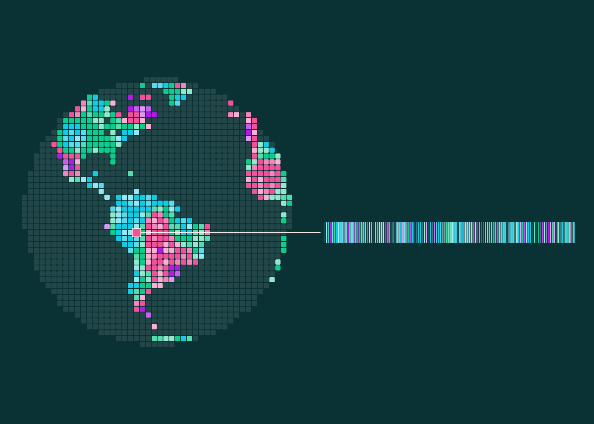
OlmoEarth v1.3: Global satellite embeddings and an interactive explorer
OlmoEarth v1.3 is a satellite embedding model released with precomputed, annual embeddings for the entire planet at 10m resolution, in 128- and 64-dimensional versions, plus a browser-based OlmoEarth Embeddings Explorer. The release lowers the barrier to working with satellite imagery: instead of fine-tuning a model on imagery for each task, which requires GPU access and local image storage, users can start from reusable embeddings and train a small classifier on top. According to the announcement, a crop map, land-cover map, or change analysis becomes a lightweight modeling problem.
To create an embedding, a vision transformer reads a year of Sentinel-1 radar and Sentinel-2/Landsat multispectral time series, an Attention Pooler pools each patch into a vector, and a linear layer reduces it to 128 numbers; the first 64 dimensions can also be used as a smaller embedding. The global embeddings are hosted on Source Cooperative, covering land and adjacent coastal waters, about 150 TB per year. At launch, 2025, 2024, and 2023 are global; 2017 through 2022 cover selected countries, with more coverage planned. For each 20-kilometer tile and year, provenance tables list the satellite scenes the model read, with links to public catalogs.
OlmoEarth v1.3’s embeddings were evaluated against AlphaEarth Foundations (AEF) and Tessera v2 across 27 evaluations on six continents. The 128-dimensional embeddings score highest on 20 of 27 evals and rank highest overall, while the 64-dimensional version leads on 18 of 27. The release also introduces PLANTEUR, a new crop-type benchmark for tropical farming, and the team reports the embeddings generalize best to places a classifier has never seen. Model weights, pretraining data, and pretraining code are fully open under the OlmoEarth Artifact License.
The model was also cheap to train: it took 53% of the computing time of v1.2 and 18% of v1, with 50% and 22% of the carbon emissions. Pre-training the Base model would cost roughly $2,720 of rented H100 time for the final run. The model also remains a strong fine-tuning option, matching v1.2’s performance across research and partner labels.
The article uses gold mining in Peru’s Madre de Dios region as an example. Embedding comparisons show mining spreading southeast from 2017 to 2020, then the signal shifting from 2020 to 2025, with continued activity in the northwest and regrowth in older zones. An Associated Press report is cited saying Peru sent navy patrols back into the Tambopata National Reserve in August 2026 after mining crossed into the reserve.
The Explorer renders the embeddings as a false-color map. Users can pan anywhere, flip between years, pull up Sentinel-2 imagery, click a place to find similar locations, or drop a few labeled points to train a classifier on the spot and export the result as a GeoTIFF. No account or GPU is needed. The authors describe the tools as complementary: explore in the Explorer, fine-tune in OlmoEarth Studio when a task calls for it, and take the map from there.