OlmoEarth Platform: Geospatial Inference at Planetary Scale
Ai2 has launched the OlmoEarth Platform, an infrastructure designed to run geospatial foundation models at planetary scale. The platform addresses the specific engineering challenges of performing large-scale satellite image inference, which differs fundamentally from typical ML workloads due to the sheer data volume (terabytes), complex preprocessing across multiple providers and projections, and the requirement to produce contiguous map outputs.
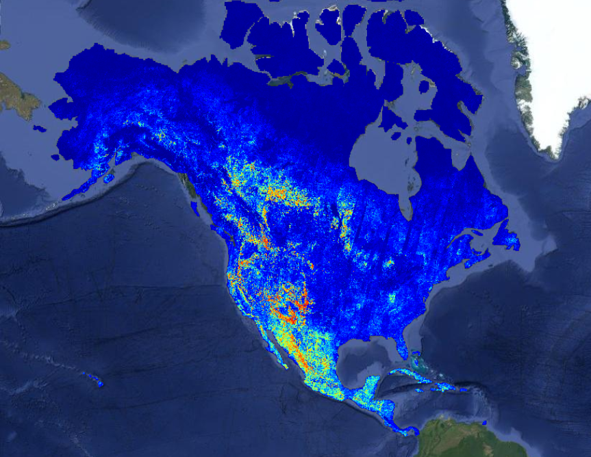
The system divides each inference job into three hardware-matched stages: data acquisition/reprocessing (CPU, high I/O), GPU inference (forward pass), and CPU postprocessing (stitching, export). A job covering a continent-scale area can be parallelized across thousands of workers; a recent North American wildfire-risk map used 19,600 CPUs and 994 GPUs at peak, achieving a 155x speedup over serial compute (4,737 hours reduced to 30.5 hours wall-clock time). Cost is stated as fractions of a penny per square kilometer.
The platform maintains its own metadata index fed by SNS notifications and polling to avoid overwhelming external STAC APIs. At inference time, it performs windowed reads against cloud-optimized formats (COG, Zarr), fetching only the needed bytes per partition. The design is idempotent and handles expected failures (provider slowdown, missing bands, crashes) with automatic retries and fallback providers.
The roadmap includes automated model runs triggered by new imagery, change detection alerts, agentic tools, more efficient model architectures, additional data modalities (ERA-5 weather data, more sensors), precomputed global embeddings, and multi-cloud deployments. The platform currently runs on Google Cloud but is designed to operate wherever Docker-capable VMs and blob storage exist.
The post is an engineering walkthrough, not an evaluation paper. No empirical accuracy benchmarks on the underlying models are provided. The platform targets mission-driven organizations (NGOs, governments) that lack the infrastructure to run geospatial models end-to-end on their own.