OlmoEarth Studio now supports custom embedding exports for geospatial analysis
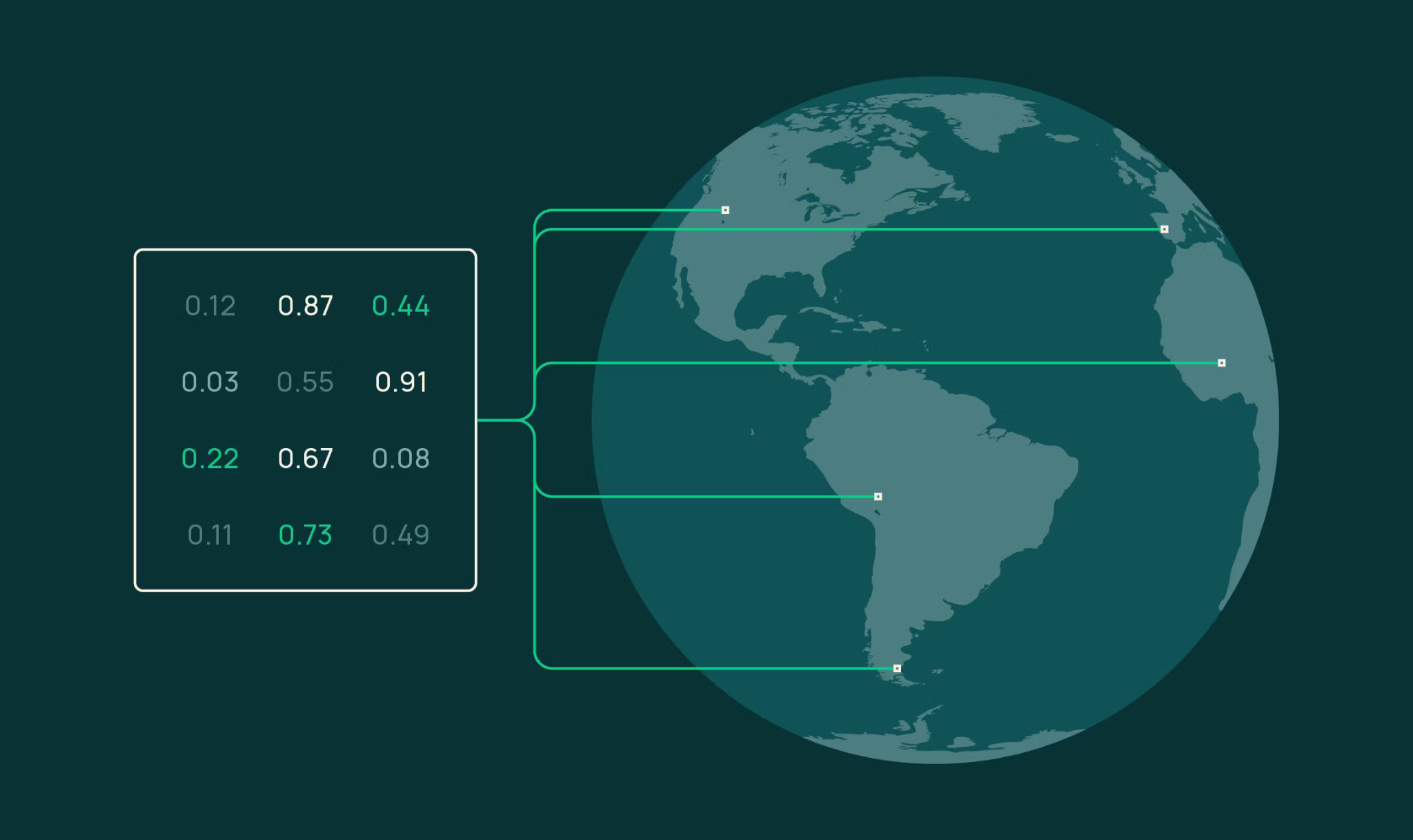
OlmoEarth Studio now lets users compute and export custom embedding vectors from its open-source Earth-observation foundation models. Embeddings are compact numerical representations that capture surface characteristics from satellite imagery, enabling downstream tasks without task-specific training. The workflow mirrors other Studio predictions: configure a model via UI or API (area of interest, time span, encoder variant, spatial resolution, imagery source), run it, and download a Cloud-Optimized GeoTIFF (COG) with one band per embedding dimension. Supported encoders are Nano (128-dim, 1.4M params), Tiny (192-dim, 6.2M params), and Base (768-dim, 89M params), at resolutions from 10m to 80m per pixel, using Sentinel-2 L2A and/or Sentinel-1 RTC imagery. Vectors are stored as int8 and must be dequantized to float.
Four example applications demonstrate the embedding utility:
– Similarity search: compute cosine similarity between a query pixel’s embedding and all others to find “more like this” locations. A query near Merced, CA, cleanly separates urban fabric from cropland; an agricultural query pinpoints irrigated fields and distinguishes them from airports or reservoirs.
– Few-shot segmentation: train a logistic regression on as few as 60 labeled pixels (20 per class) over Ca Mau, Vietnam, producing a wall-to-wall land-cover map (mangrove, water, other) with weighted F1=0.84. Accuracy saturates quickly because embeddings already organize ecological distinctions.
– Change detection: compare monthly embeddings from September 2023 vs September 2024; the Park Fire burn scar in Butte County, California, appears immediately via per-pixel cosine distance, with no labels needed.
– Unsupervised exploration: reduce embedding dimensions to 3 via PCA and map to RGB. In Flevoland, Netherlands, agricultural parcels, water bodies, and urban areas get distinct colors automatically, revealing latent landscape structure.
All examples use Tiny embeddings at 40m resolution with annual Sentinel-2 composites (monthly for change detection). The article provides working Python code for each task using rasterio, scikit-learn, and a few lines of logic. For higher performance, Studio also supports supervised fine-tuning (SFT) with task-specific heads, which typically outperforms linear probes.
Key limitations: embedding quality depends on input imagery quality (cloud cover, atmospheric artifacts, missing observations). Users should validate embeddings for their specific use case. The source code, model weights, and research paper are publicly available, enabling full inspection of embedding generation. Custom embedding exports are available via Studio; the public models can also be used offline. The article includes links to documentation, tutorials, and a Colab notebook.